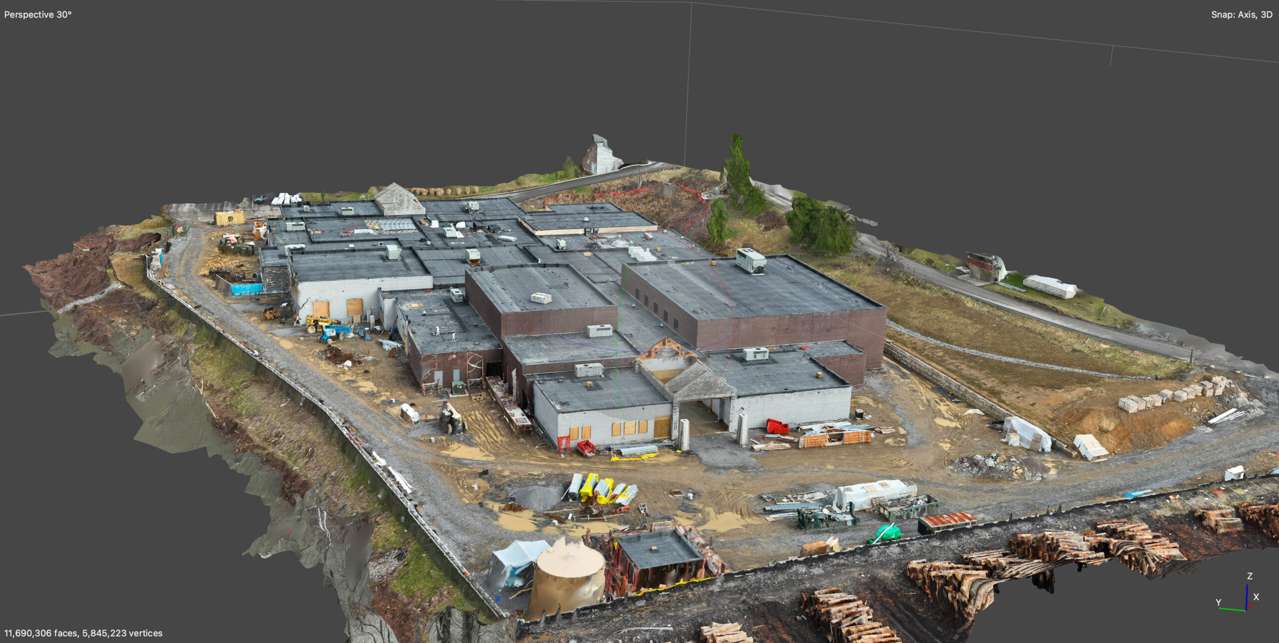
we are pilots and data nerds first…
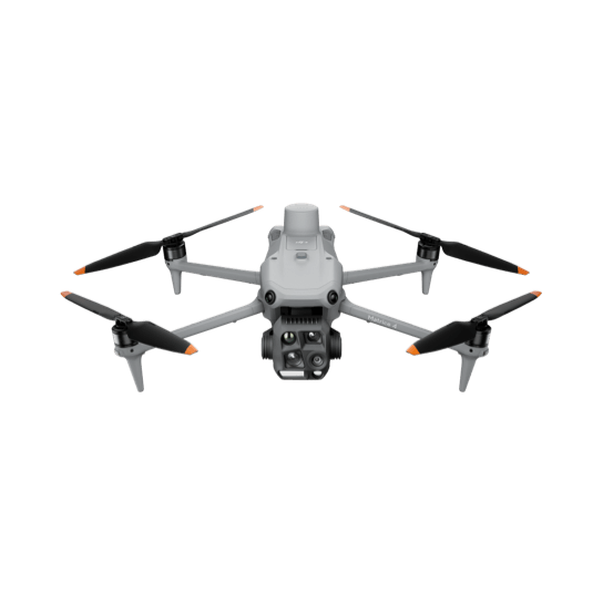
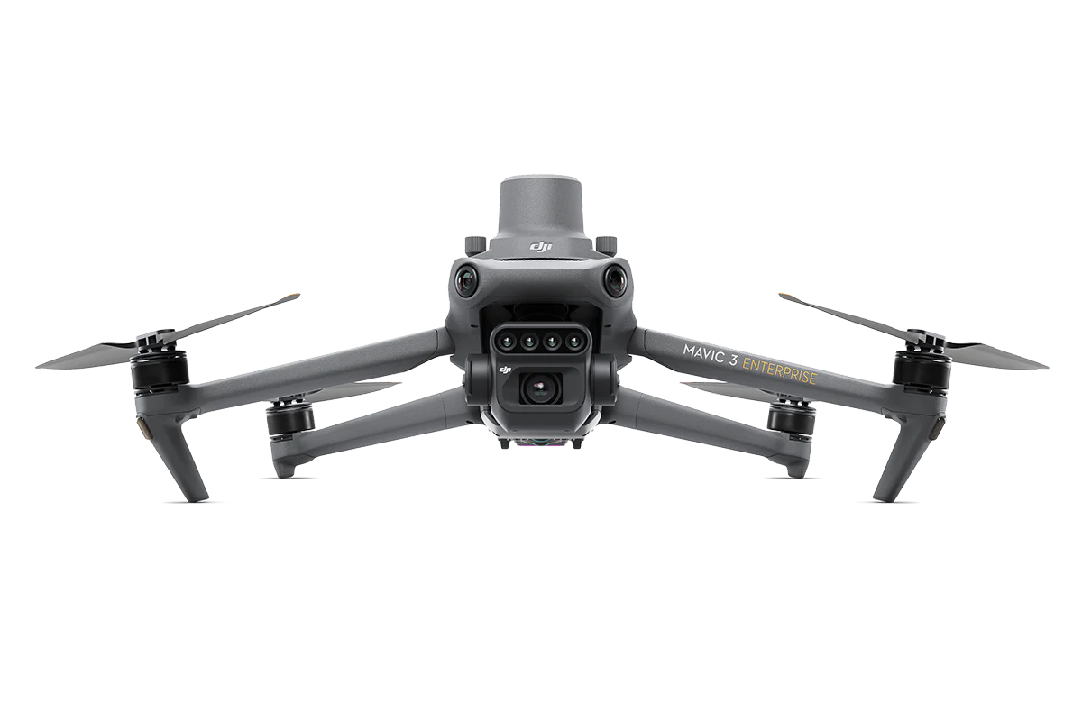
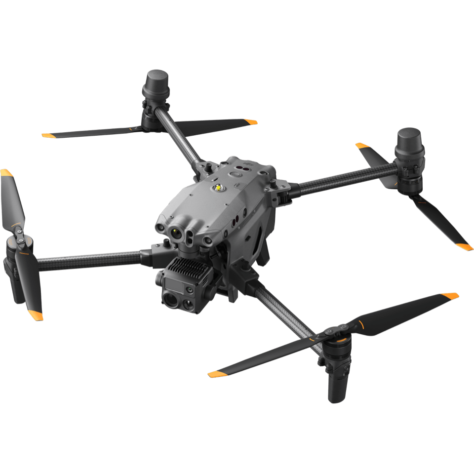
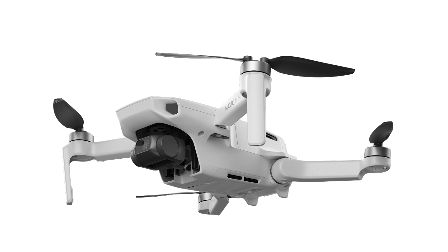
Aerial Aspect Images combines cutting-edge drone technology with expert data collection to meet the diverse needs of our clients. From high-resolution imaging and mapping for construction sites to thermal and optical inspections, our team employs specialized platforms and payloads to ensure accurate and efficient results. We understand that every project is unique, and we take pride in customizing our approach to provide the most effective aerial data solutions. Our services extend across industries, including construction, environmental monitoring, agriculture, and more, ensuring that our clients receive the insights they need to make informed decisions.
Our dedication to using the right technology for the right purpose sets us apart. Whether working in challenging terrains, capturing real-time data, or scaling large sites, our drones and payloads are selected to deliver optimal performance and quality. At Aerial Aspect Images, we go beyond just gathering data; we empower our clients with the tools and knowledge to drive success in their projects, helping them see the big picture from a higher perspective.
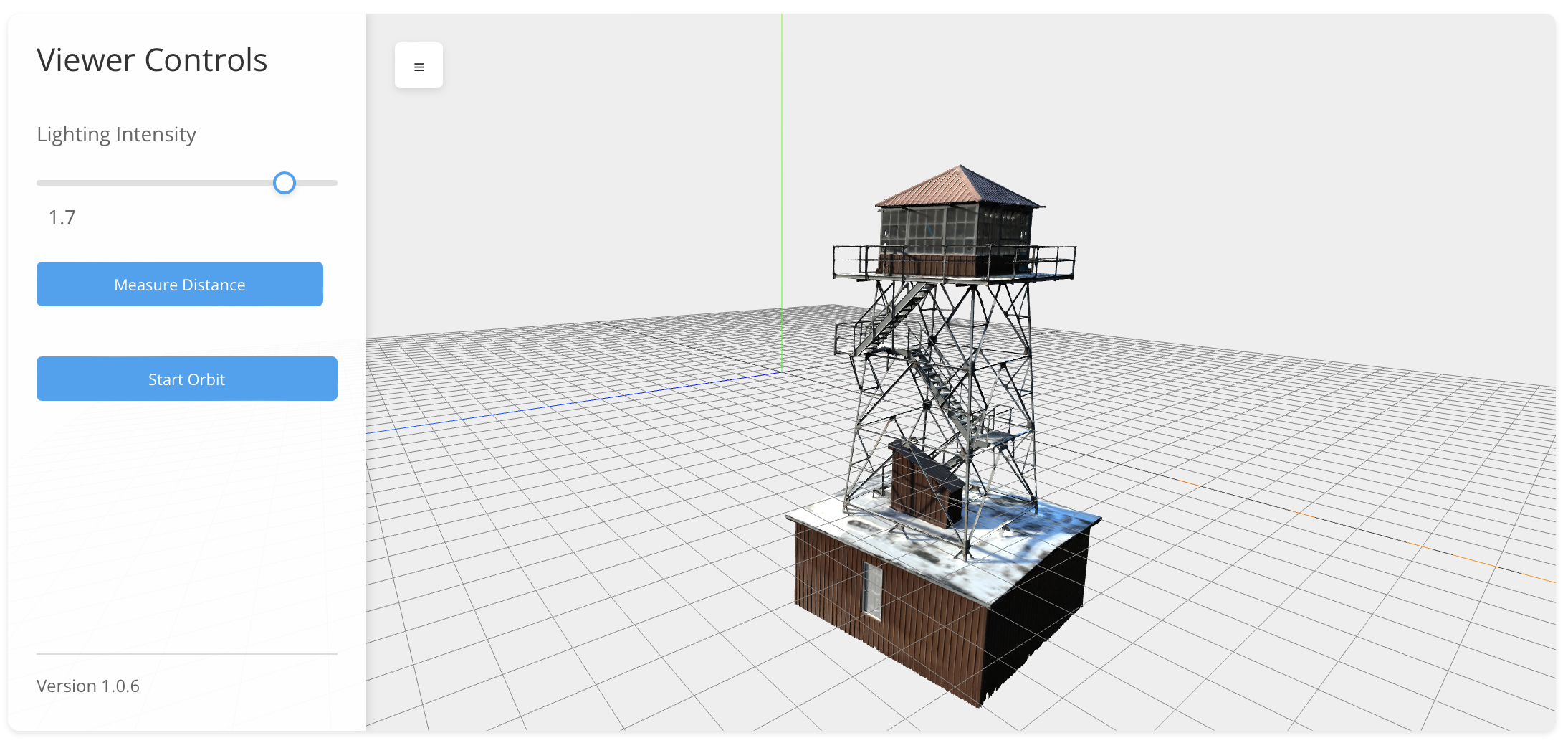
Experience the future of surveying with our cutting-edge 3D models created through drone photogrammetry. Delivered directly to you, these models can be viewed online using our custom in-browser viewer, providing an interactive experience that brings your project to life. Effortlessly adjust the lighting to highlight key details, zoom in and out to inspect every angle, and accurately make measurements in both feet and meters.
Our innovative approach ensures that you receive precise, high-quality visualizations that are accessible anytime and anywhere, enhancing your ability to analyze and plan with confidence.
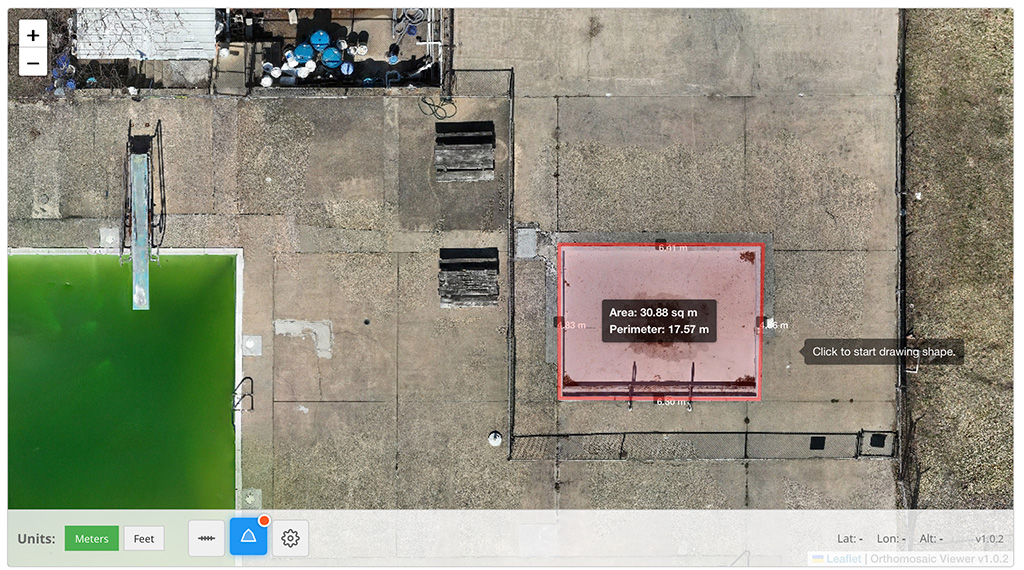
You can also have your project flown and delivered as an orthographic GeoTIF. Delivered directly to you and accessible via our custom in-browser viewer, these GeoTIFs empower you to zoom in and out seamlessly while making accurate distance measurements in both feet and meters.
We’ve added a tool that allow you to draw polygons, allowing you to instantly view segment distances, perimeters, and areas, providing a comprehensive analysis of your site. Our solution combines high-resolution data with interactive features, ensuring you have all the detailed insights.




Services
Optional Services Deliverables
RTK Drone
Orthographic Maps
- Orthomosaic Map (GeoTIFF)
- Digital Surface Model (DSM) and/or Digital Elevation Model (DEM)
- Point Cloud (LAS/LAZ format)
- Raw and Processed Images
- KMZ or Shapefiles for GIS
- PDF or Web Interactive Map Report
RTK Drone
3D Model
- 3D Textured Mesh (OBJ/FBX)
- Orthomosaic (GeoTIFF)
- Digital Elevation Model (DEM/DSM)
- Point Cloud (LAS/LAZ/PLY)
- UV-Mapped 3D Model for Rendering (Maya MB/FBX)
- Animated Flythrough or 3D Visualization
Thermal Drone
Inspections
- Thermal-Orthomosaic Map
- AI-Assisted Fault Detection Report
- Multi-Spectral Layered Inspection Report
- Temperature Trend Analysis
- Structural Crack and Corrosion Detection (Annotated PDF/KML)
- 360° Panoramic Inspection View
