3D Models and Digital Twins

Understanding 3D Photogrammetry Models and Digital Twins
Transform your physical assets into precise digital replicas with our advanced drone photogrammetry services. Whether you manage construction sites, industrial facilities, or architectural projects, our professionally captured and processed 3D models provide unprecedented insight into your assets.
What is Photogrammetry?
Photogrammetry is the science of creating accurate 3D models from overlapping photographs. Using state-of-the-art drones and specialized cameras, we capture hundreds of high-resolution images from multiple angles. These images are then processed using advanced software to create detailed, measurable 3D models of your site or structure.
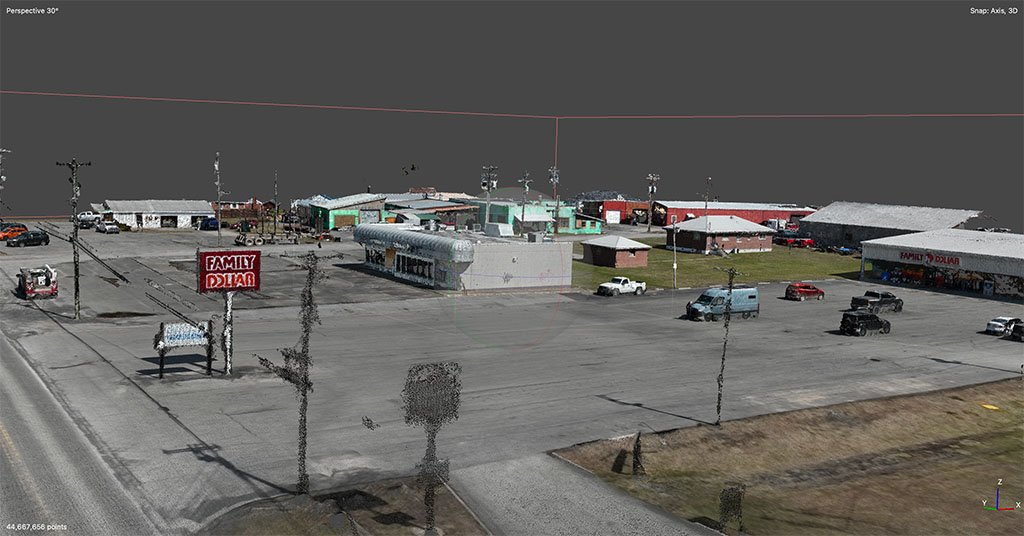
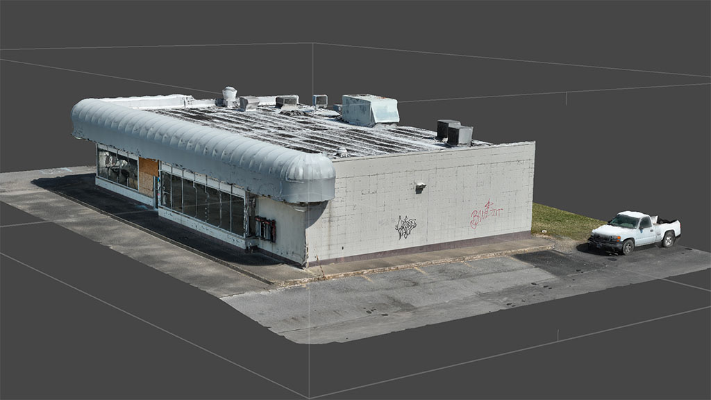
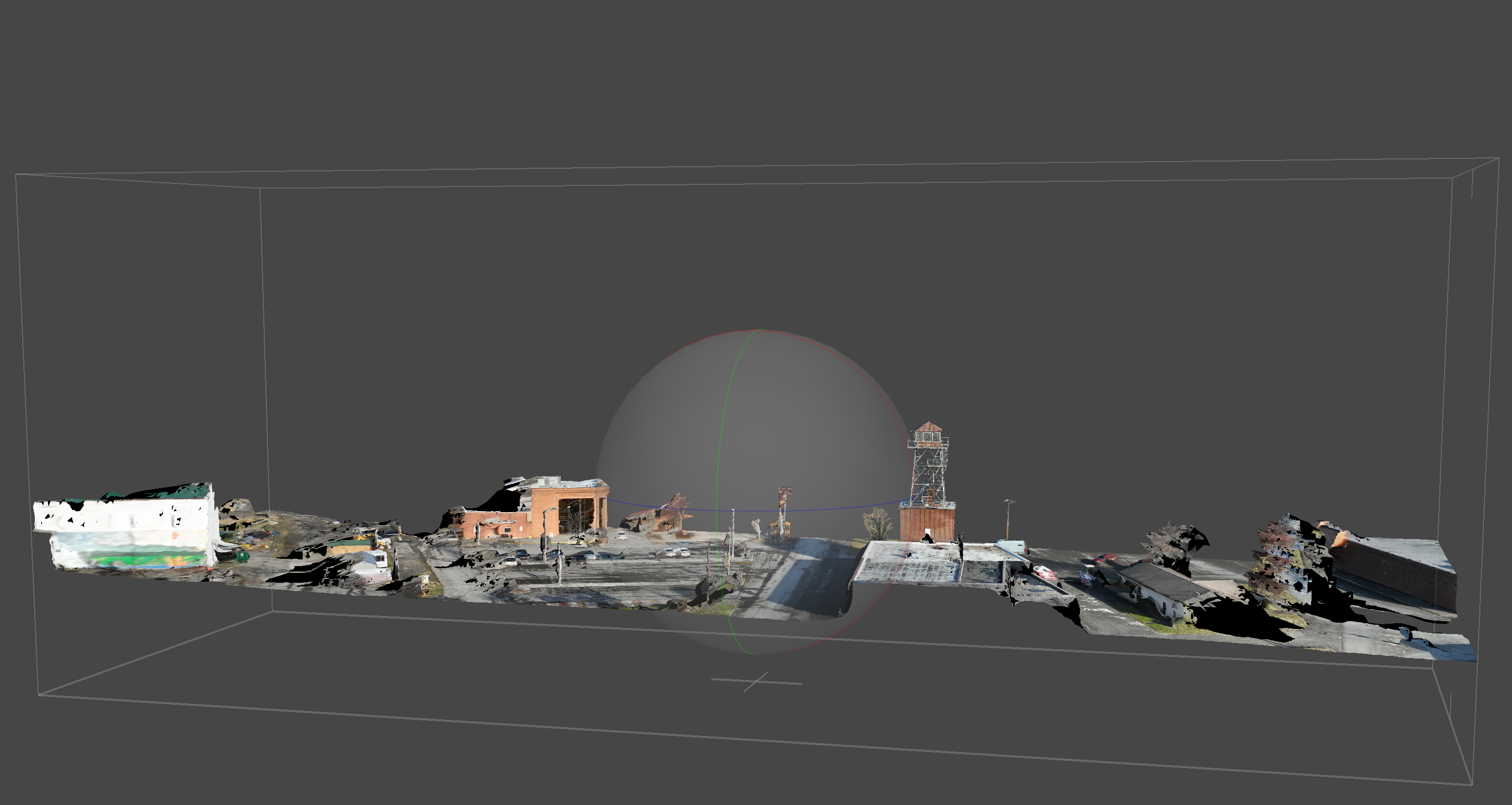
Above is a point cloud of an area surrounding a property that is for sale. A point cloud is a collection of tiny dots that together create a digital 3D model of an object or scene. In photogrammetry, multiple photographs are taken from different angles, and a computer analyzes these images to determine the exact location of each point on the surface of the subject. When viewed as a whole, the point cloud forms a detailed “blueprint” of the area, which can be used to make accurate models for things like mapping, construction, or even video games.
The building above was transformed from the raw point cloud on the left into a fully textured 3D model, bringing every detail to life. In real estate, such models can offer immersive virtual tours, help buyers visualize space accurately, and empower developers with precise planning tools—making property marketing and decision-making more engaging and informed.
Featured Project: City of Richwood Fire Tower
Project Overview
Our recent work with the City of Richwood’s historic Fire Tower demonstrates the precision and attention to detail we bring to every project. Using our DJI Mavic 3 Enterprise drone, we created a highly detailed 3D model of this significant structure while overcoming several technical challenges.
Technical Execution
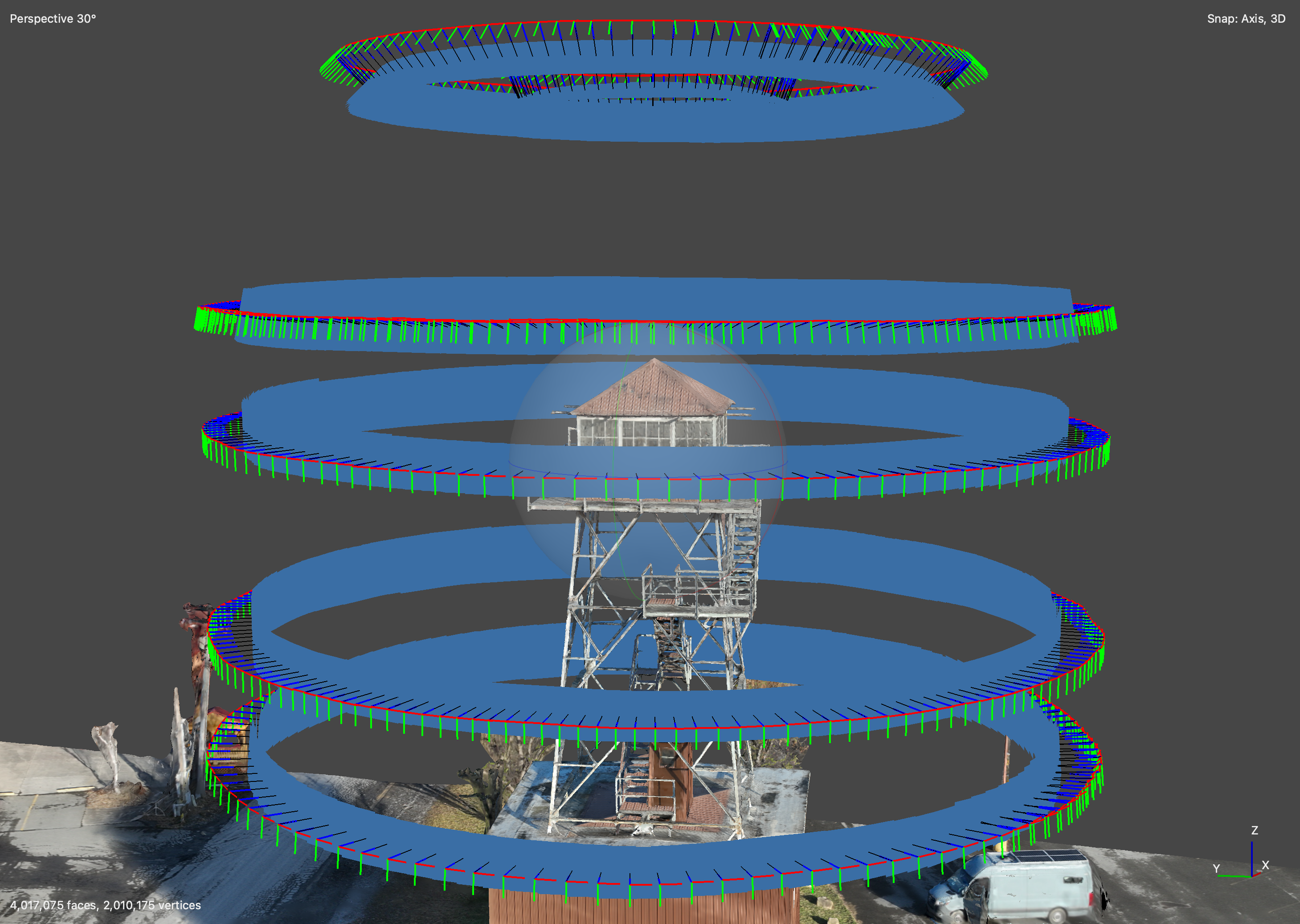
The Fire Tower project required meticulous planning and execution. We developed a precise flight path that circled the tower at multiple elevations, ensuring comprehensive coverage while maintaining consistent distance and overlap between images. The Mavic 3 Enterprise’s advanced camera system captured high-resolution images that formed the foundation of our model.
Overcoming Challenges
One of the key challenges in tower photogrammetry is managing unwanted elements in the captured images. The camera often captures surrounding elements that can complicate the final model. Our expert post-processing team carefully edited the captured data to isolate the tower structure itself, ensuring a clean, focused model that highlights the essential architectural elements.
Results
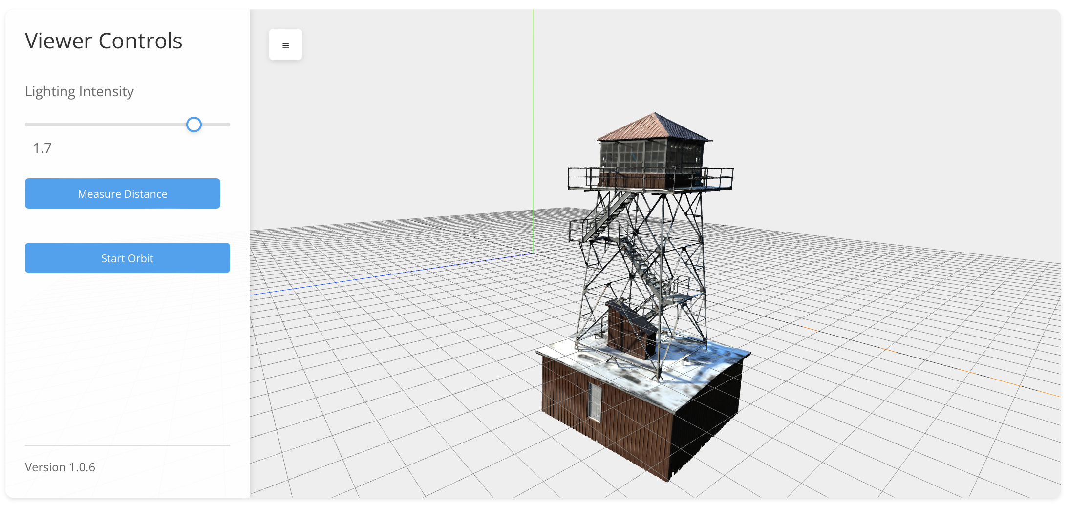
The final product is a precise, professionally crafted 3D model that you can explore in our interactive viewer below. This model demonstrates our ability to:
- Capture complex vertical structures with high accuracy
- Clean and optimize photogrammetry data for ideal results
- Deliver professional-grade models suitable for engineering and documentation purposes
- Create interactive experiences that allow stakeholders to examine structures from any angle
Click the image below for a demo viewer

