Our Drone Services
Precision. Efficiency. Innovation.
Drones are revolutionizing data collection, mapping, and inspections like never before. At Aerial Aspect Images, we specialize in high-accuracy aerial solutions tailored to your industry’s needs. From ultra-detailed ortho maps to cutting-edge Thermal scanning, we deliver the insights you need with unmatched precision and speed.

Our Core Services
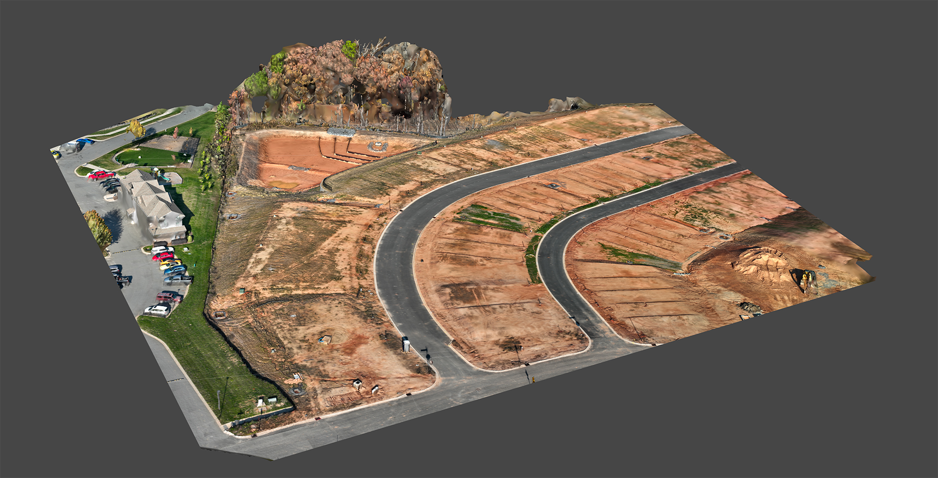
Aerial Orthomosaic Mapping
We create high-resolution, georeferenced orthomosaic maps that provide an accurate top-down view of any site. Ideal for construction, urban planning, and environmental monitoring.
- Sub-inch accuracy with RTK/PPK corrections
- Large area coverage in a fraction of the time compared to traditional methods
- Multiple output formats: GeoTIFF, KMZ, CAD overlays

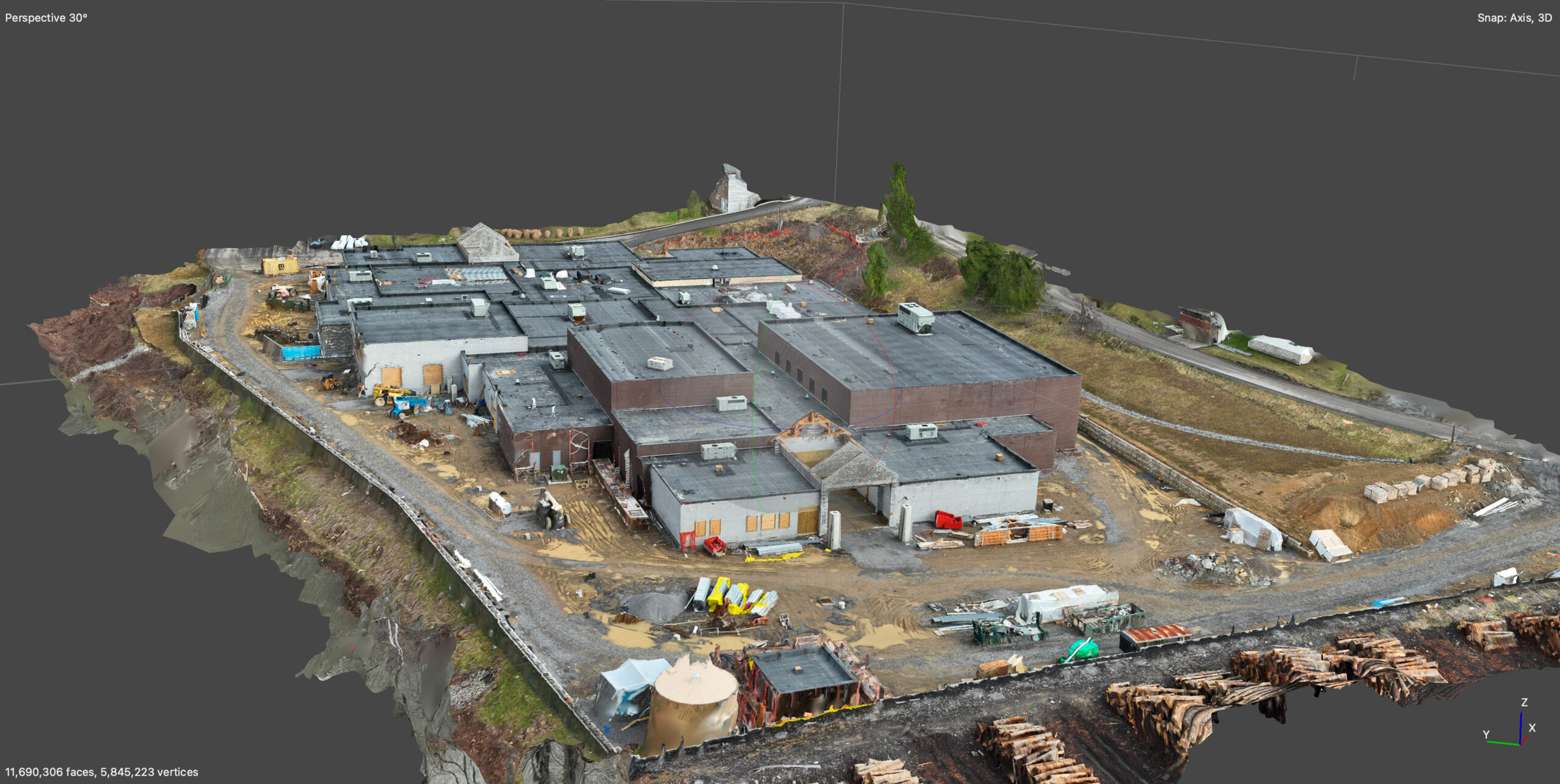
3D Modeling & Digital Twins
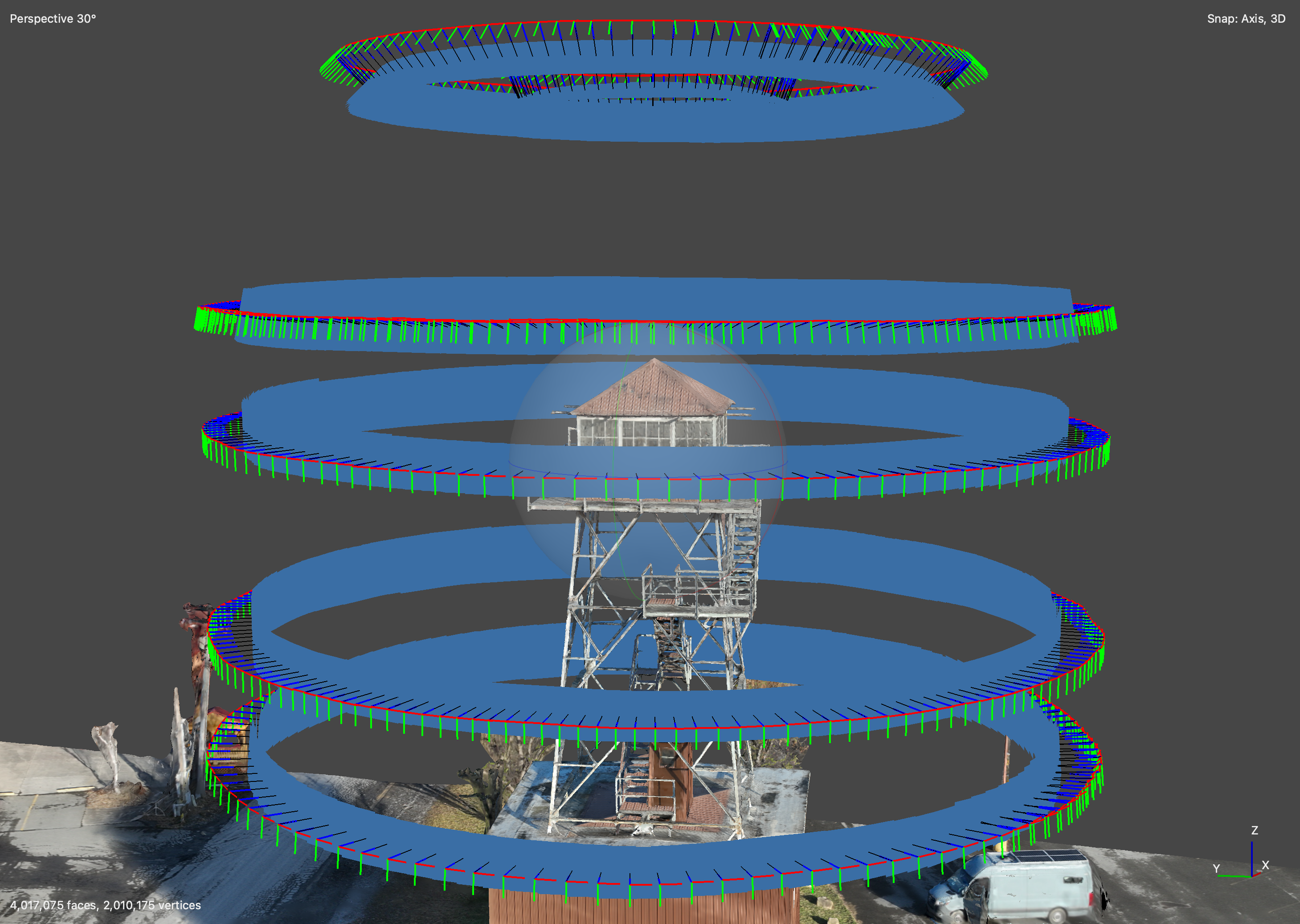
Using advanced photogrammetry and LiDAR, we build detailed 3D models of structures, terrains, and cities for engineering, real estate, and historical preservation.
- Full-color, high-resolution 3D models
- Cloud-based or CAD-ready exports
- Perfect for urban planning, site visualization, and virtual tours
- As-Built Documentation
Ensure your project aligns with design specifications. Our As-Built documentation services provide up-to-date, highly accurate aerial data for tracking progress, compliance, and deviations from blueprints.
- Accurate site verification at any project stage
- Drone surveys replace costly manual inspections
- Integrates seamlessly with AutoCAD, Revit, and BIM software

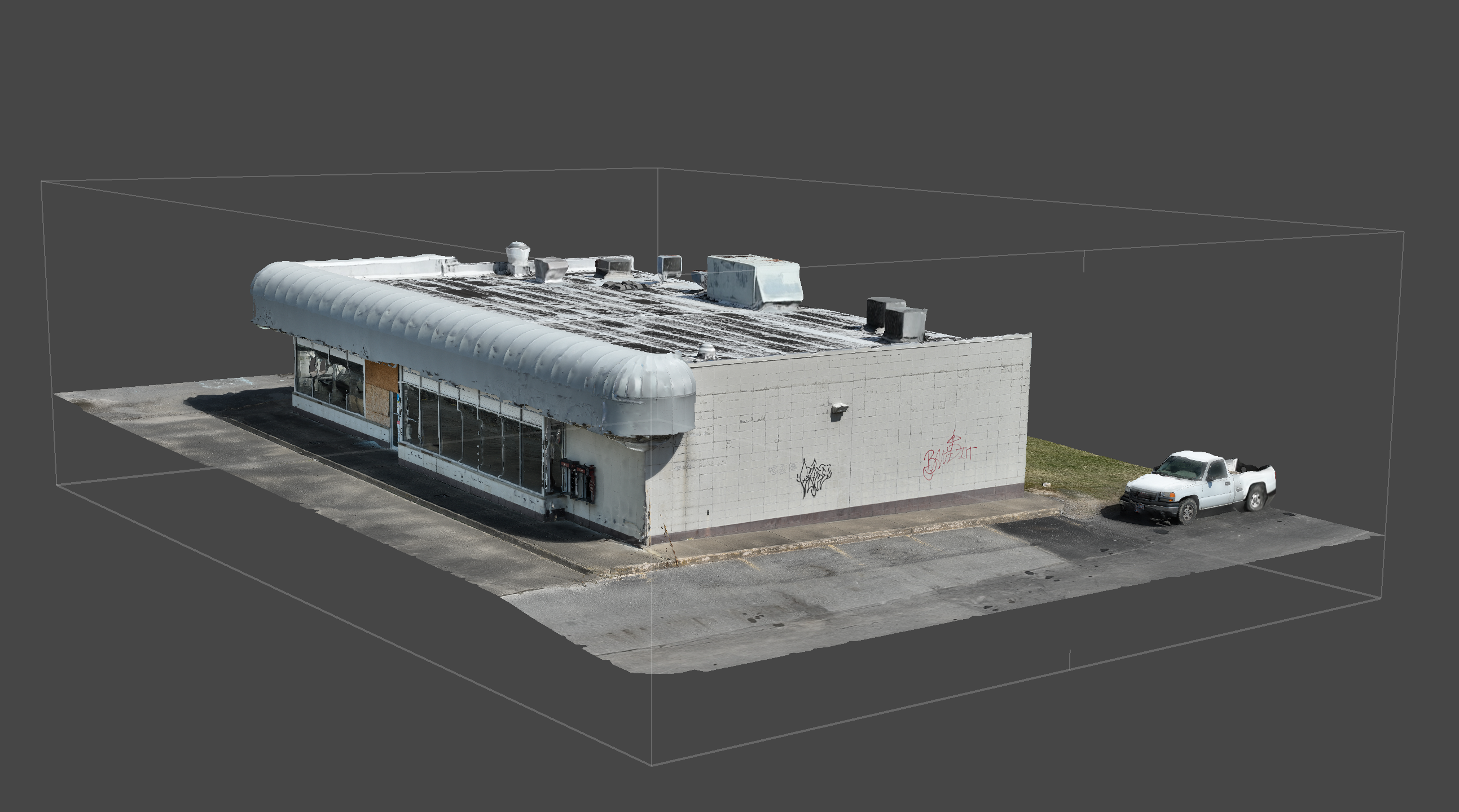
Our Pre-Sale Real Estate Models
Comprehensive Commercial Property Visualization
We deliver high-resolution, interactive real estate models that offer prospective buyers a complete, immersive view of their future property. Ideal for thorough inspections, neighborhood assessments, and informed decision-making, our models capture intricate details of interior layouts and / or structural conditions, and surrounding amenities—ensuring you see every advantage before you buy.
- Immersive 3D walkthroughs for detailed property exploration
- Precise mapping of interior layouts and structural details
- Integrated neighborhood insights highlighting local amenities and context
